Introducing Windy Map Layers To AutoPylot+
Table of Contents
- Introduction to AutoPylot+ Weather Features
- The New Windy Map Layer
- Visualizing Wind and Precipitation
- Time Slider for Forecasted Weather
- How to Access the Windy Map Feature
- Conclusion
1. Introduction to AutoPylot+ Weather Features
At AutoPylot, we’re committed to providing the best tools for drone operators to plan and execute their missions confidently. One key element of successful drone flights is understanding the weather conditions, which is why we’ve continually enhanced the weather features in AutoPylot+. Today, we’re excited to introduce the latest addition to our advanced weather toolkit: the Windy Map layer.

2. The New Windy Map Layer
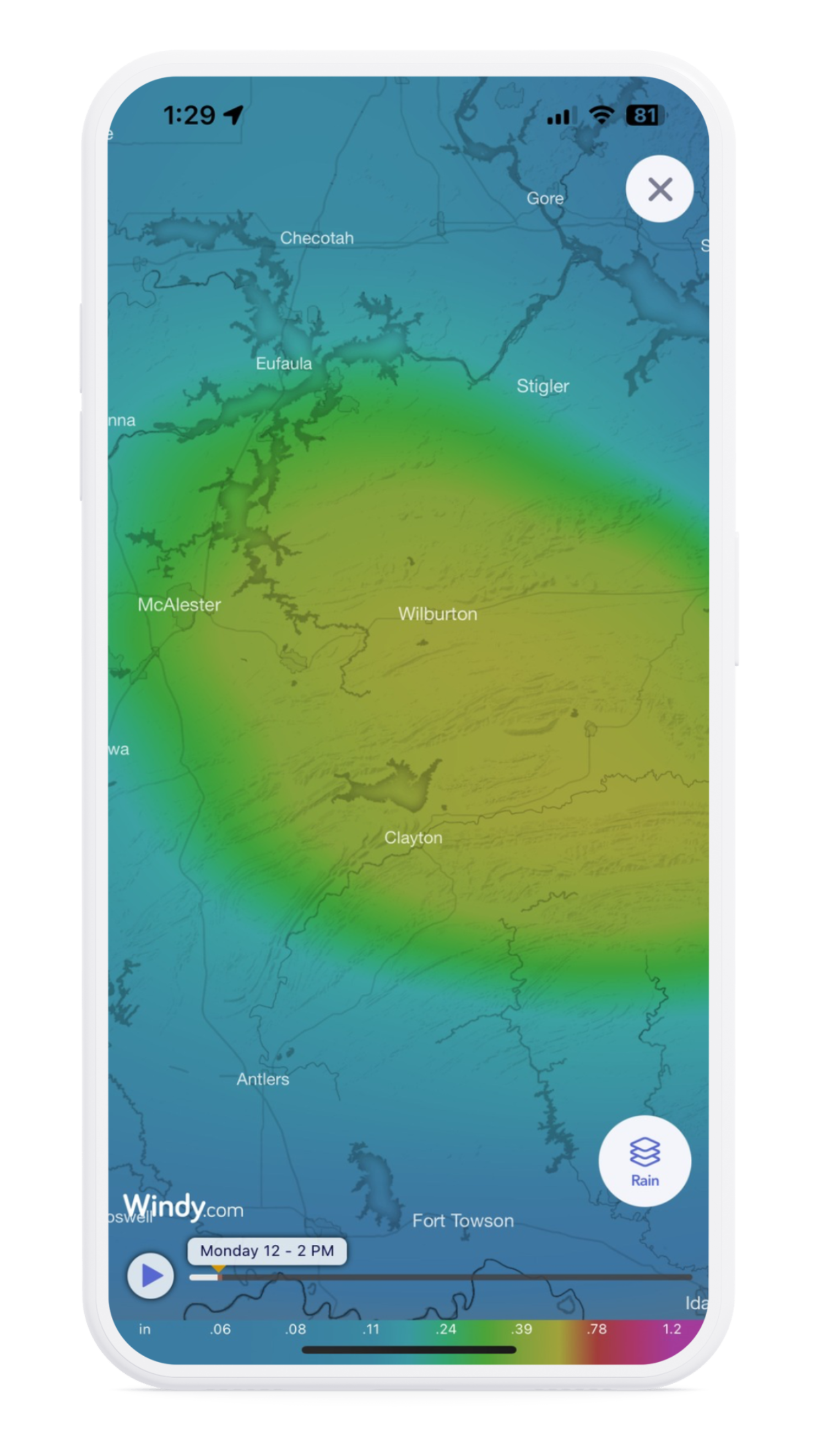
The Windy Map layer is the newest feature in AutoPylot+, designed to give users an even more comprehensive understanding of the weather conditions that could affect their drone flights. This feature allows users to visualize wind patterns and precipitation directly on the map, making planning safe and efficient missions easier than ever.

3. Visualizing Wind and Precipitation
With the Windy Map layer, you can now see real-time wind conditions at 30 and 300 feet. This is crucial for drone operators who must understand how wind speed and direction might change at different flight levels. The Windy Map layer also shows precipitation types such as rain and snow, helping you anticipate any potential weather disruptions.

4. Time Slider for Forecasted Weather
One of the standout features of the Windy Map is the time slider, which allows users to adjust the time and date to view forecasted weather conditions. Whether planning a flight for later in the day or the following weekend, the time slider gives you a clear picture of what to expect, helping you make informed decisions.

5. How to Access the Windy Map Feature
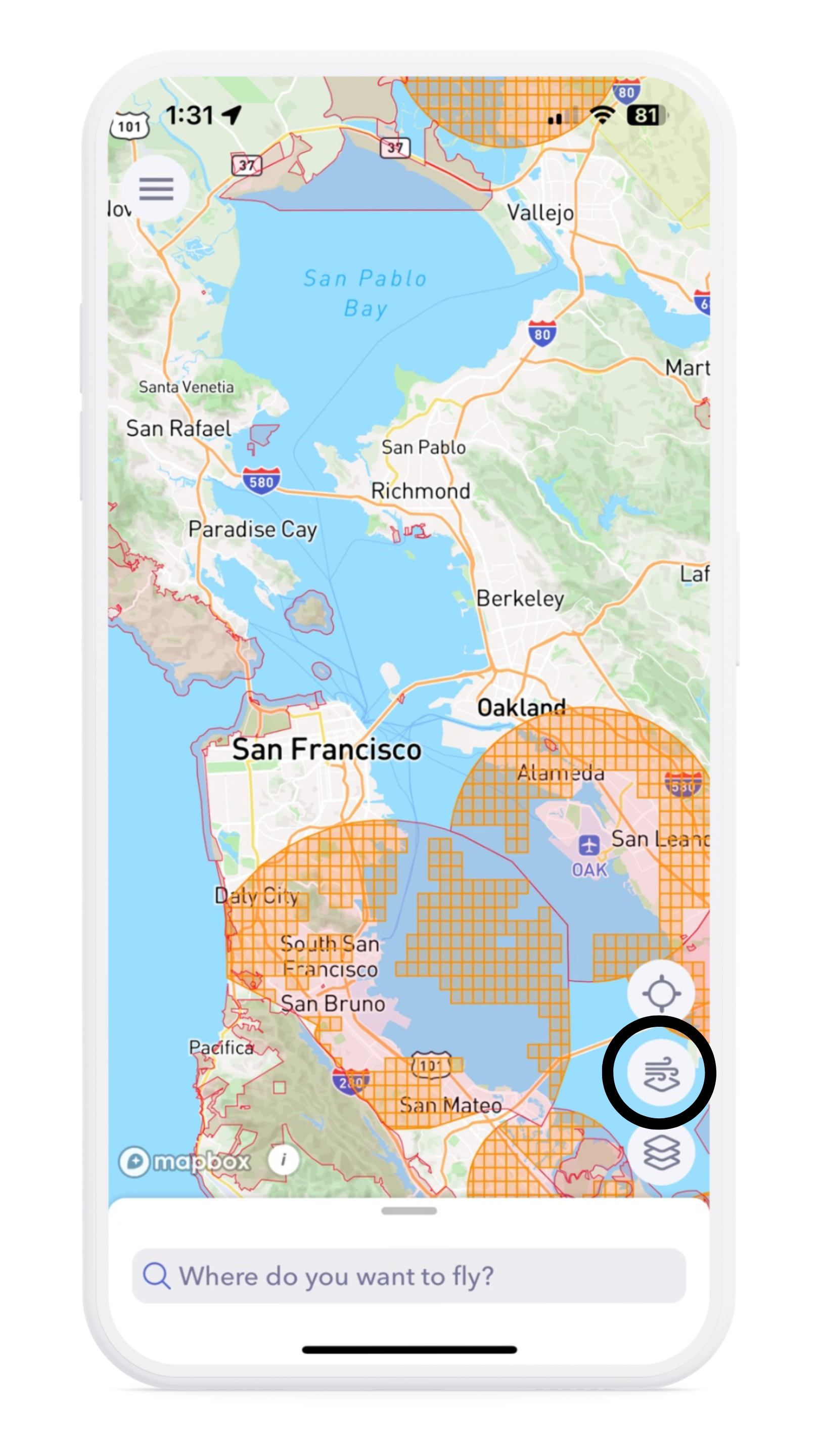
The Windy Map layer is now included with every AutoPylot+ subscription. Select the wind icon from the map interface to toggle to the Windy map to access it quickly. If you’re not yet an AutoPylot+ subscriber, you can still preview the Windy Map feature by clicking on the wind icon and experiencing this powerful tool before deciding to upgrade.
6. Conclusion
We’re thrilled to bring you the Windy Map layer as part of AutoPylot+. With enhanced wind visualization, precipitation mapping, and forecast capabilities, this feature is designed to make your flight planning even more precise and stress-free. Try it out today and see how it can elevate your drone operations to the next level.


