
B4UFLY:
Can you fly here?
Find out in seconds.
B4UFLY is the free FAA-approved way to check the airspace before you fly your drone — so you instantly know if you’re clear to fly.
Drop a pin anywhere and B4UFLY by AutoPylot gives you an instant flight status from FAA airspace data. Free. No account. Right on your phone.
 FAA-approved B4UFLY providerAutoPylot · 1 of 5 nationwide
The basics
What is B4UFLY?
B4UFLY is a collaboration between the FAA and private industry — like AutoPylot — to safely integrate recreational drones into the national airspace system.
AutoPylot gives recreational flyers safety information and airspace awareness before every flight, through the web app or our iOS and Android apps.
Airspace awareness
Controlled airspace, facility-map grids, and max altitudes — visualized.
Safety information
TFRs, stadium warnings, and hazards within 2 miles of your flight.
Always free
No account, no subscription. Just open it and check before you fly.
Three signals
It works like a traffic light
Every location resolves to one of three clear answers. No interpreting charts, no second-guessing.
Clear to Fly
Open airspace for recreational flight. Launch within your altitude limit and enjoy.
FAA Approval
Controlled airspace. Request automatic authorization with LAANC in-app, or visit DroneZone.
Do Not Fly
Restricted or prohibited airspace, or an active TFR. Recreational flight isn’t allowed.
How to access B4UFLY
From download to flight status in minutes
Accessing B4UFLY through AutoPylot is free and takes just a few taps.
Get the app on any device
- ✓AutoPylot is available on desktop, iOS, and Android.
- ✓Download free from the Apple App Store or Google Play.
- ✓Prefer the browser? Open the web app — nothing to install.

No account, no friction
- ✓Accessing B4UFLY is free and does not require an account.
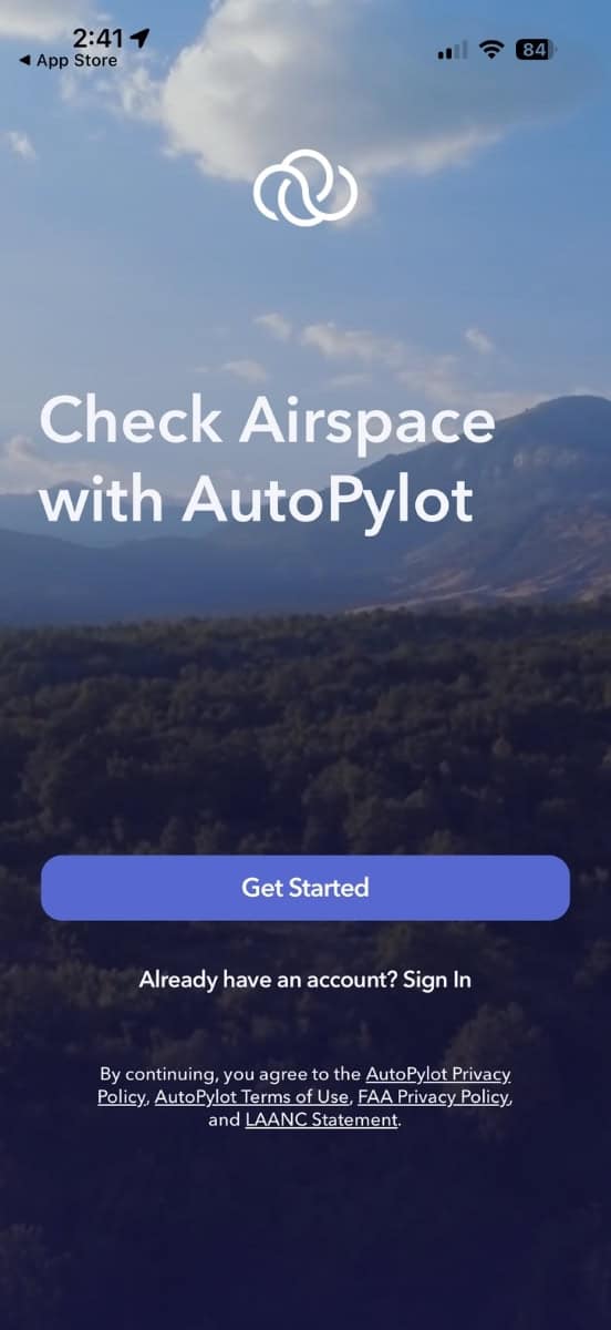
- ✓Tap Get Started, then enter the app after a quick tutorial.
- ✓Enable notifications and location to improve pre-flight planning.
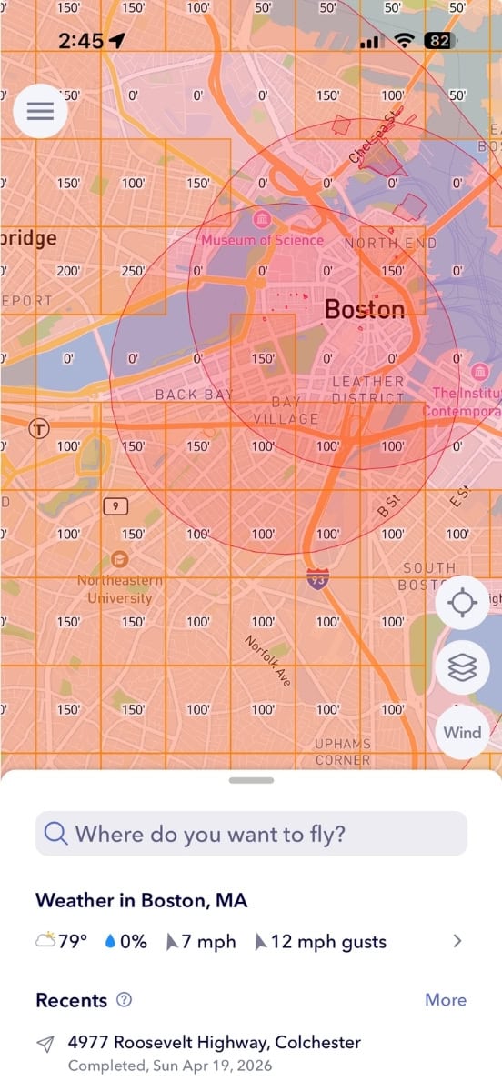
Search or drop a pin
- ✓Zoom and pan to see airspace and UAS Facility Map grids.
- ✓Tap to drop a pin, or search for your flight location.
- ✓Use the layers icon to switch map views and toggle layers.
Instantly know where you stand
- ✓Choose your flight radius, date, time, and duration.
- ✓See if you’re Clear to Fly, need FAA Approval, or it’s a Do Not Fly zone.
- ✓If approval is needed, request LAANC right in the app.

Full airspace awareness
- ✓Scroll the checklist for the location’s airspace and safety info.
- ✓Controlled airspace, day/night ops, stadiums, TFRs, and restricted areas.
- ✓See hazards within 2 miles — airports, heliports, military areas, parks.

Before you fly,
B4UFLY.
Get your flight status in seconds — free, and no account required.
Recreational flyers must pass TRUST before they fly.
Get the answers
Frequently asked
How and when can recreational flyers use B4UFLY?
- It’s available to the public to help recreational flyers understand safety and airspace info before flight.
- Use it to understand the airspace at a location and what’s required to fly there.
- It shows controlled and uncontrolled airspace, max authorized altitudes near airports, restricted airspace, and more.
- Recreational flyers must take TRUST before flying.