AutoPylot Features
Unlock the efficiency AutoPylot Features empower you to achieve when flight planning.
Airspace
Operational awareness at your fingertips.

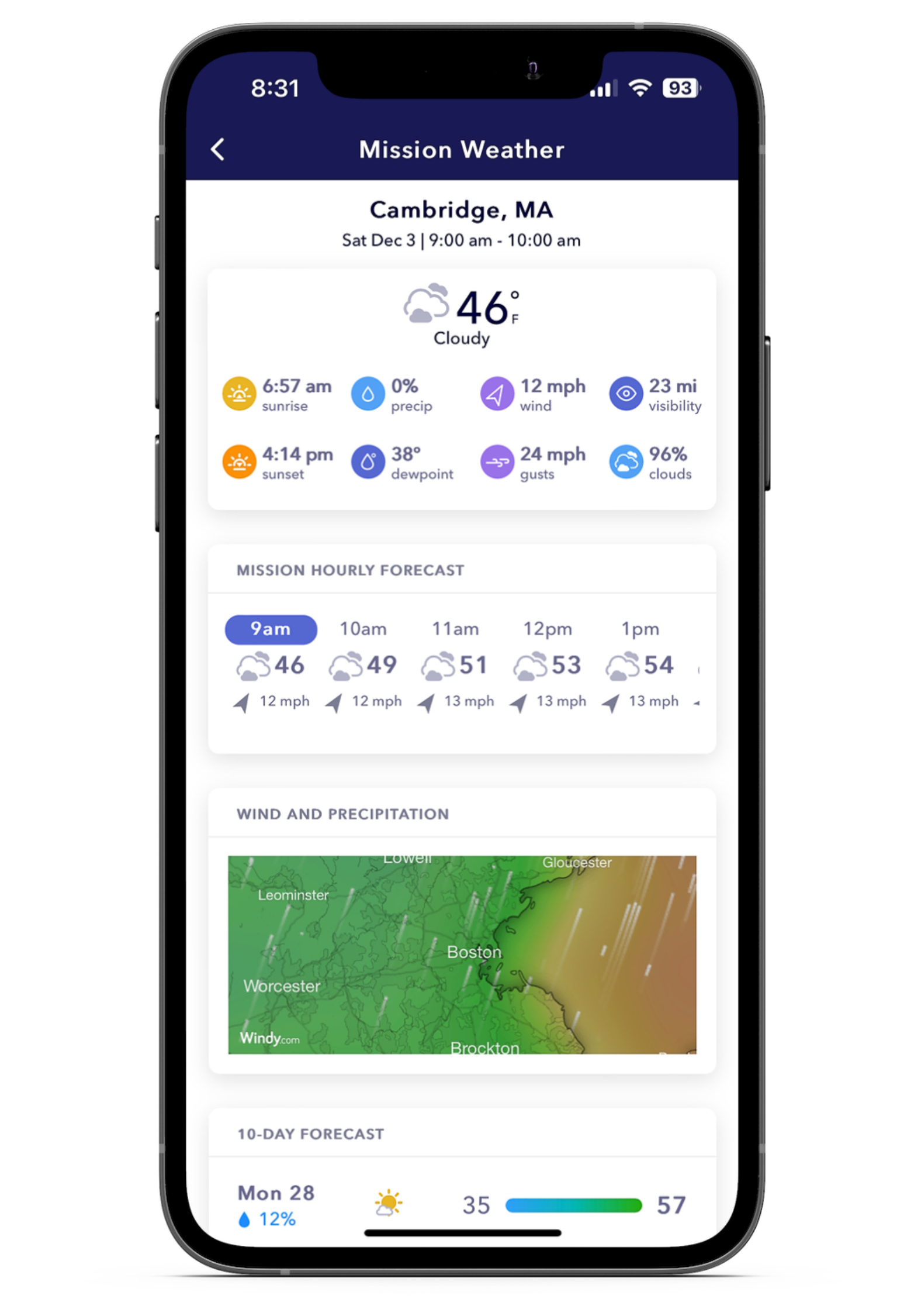
Weather
Forecasts built around your mission.
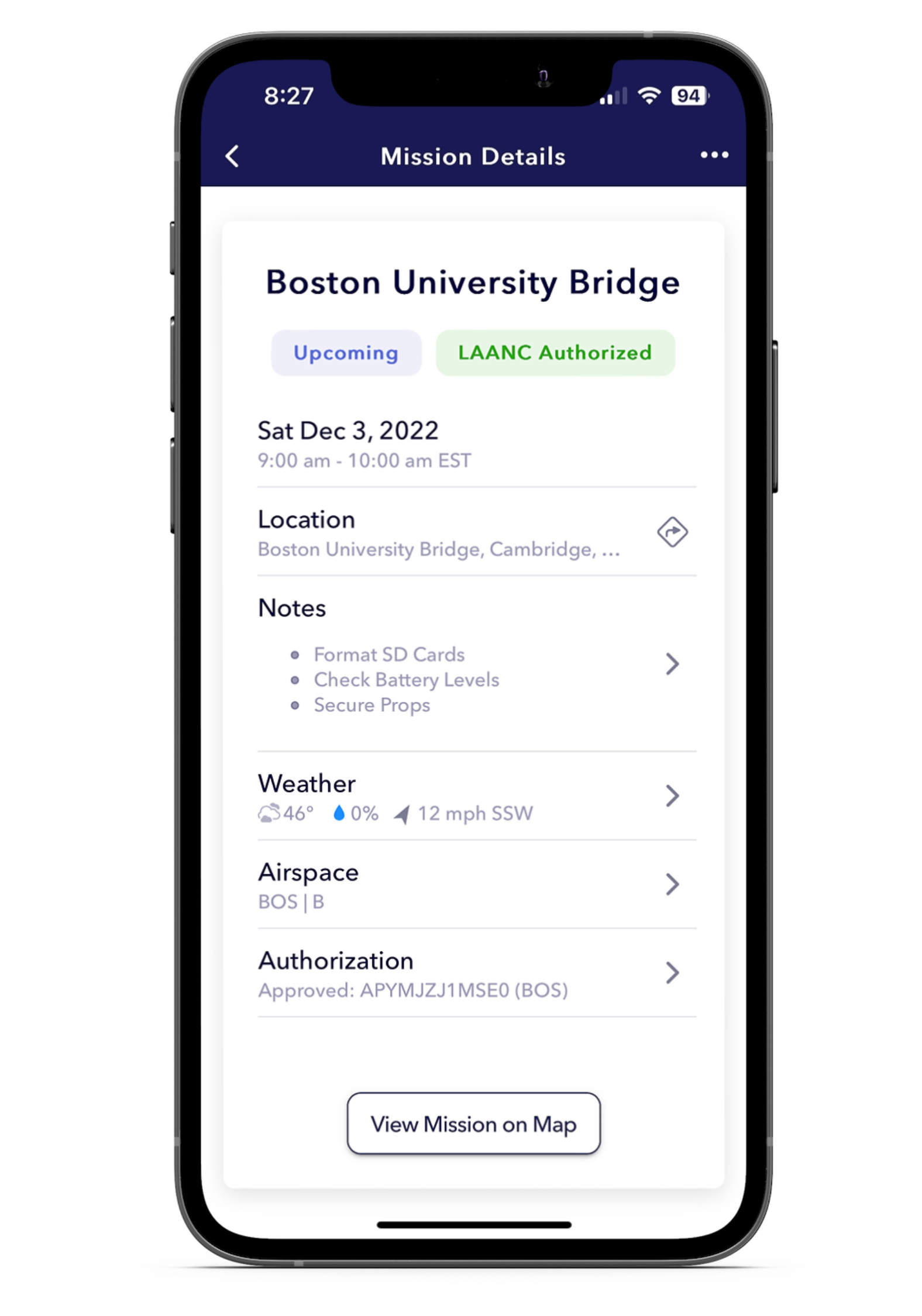
Missions
All the details you need, when you need them.
Get the answers.
Still curious about AutoPylot? See FAQs below.
AutoPylot is an FAA-approved pre-flight planning software enabling drone pilots to legally know where it is safe to fly their drone(s).
AutoPylot provides B4UFLY services and near real-time airspace authorizations to commercial pilots (Part-107) and recreational flyers. When requesting airspace access, pilots must enter their Remote Pilot Certificate number or TRUST Certificate Authentication Token number. This will be displayed in the menu header.
DJI Fly Zones are not official airspace data and are not the same as LAANC. The DJI system is not integrated with the FAA and is different than official national airspace maps. If you request to unlock a zone with DJI, this does not mean you are authorized to fly in that area, and you must request authorization through an FAA-approved supplier of LAANC or the FAA DroneZone. The FAA is the authoritative source on all airspace data.
AutoPylot is a pre-flight planning tool and does not connect to any drones to help operate them.
AutoPylot uses three primary colors to indicate a planned flight area’s operational status. A green radius and flight checklist indicate the mission is in Class G airspace, and the pilot does not need an airspace authorization to fly. A red radius, map area, and flight checklist indicate the proposed flight location overlaps a do not fly boundary. An orange radius and flight checklist indicate the proposed flight area is in LAANC-enabled airspace, and the pilot can request access at that location by continuing the mission creation process.
To request a copy of your LAANC data or to request its destruction by deleting your account, please contact us at Hello@autopylot.io.